National cultural map
Al Ghella Archaeological Site
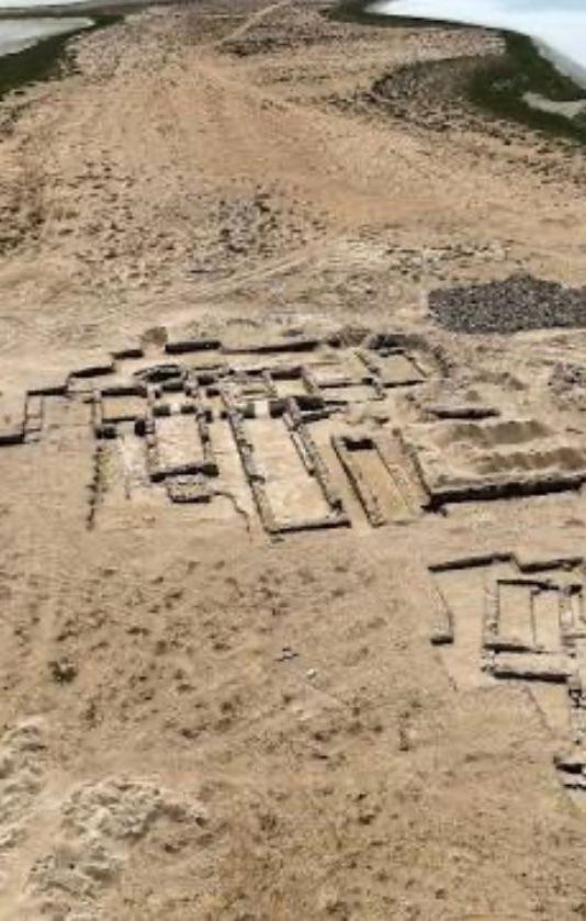
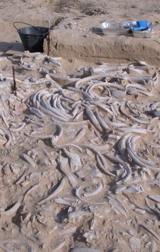
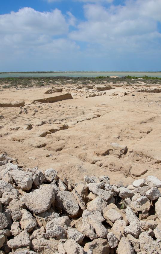
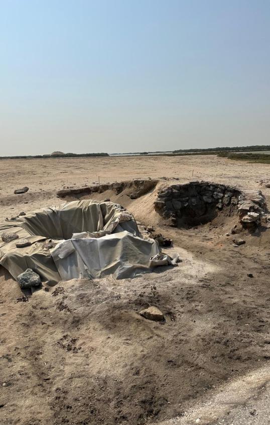
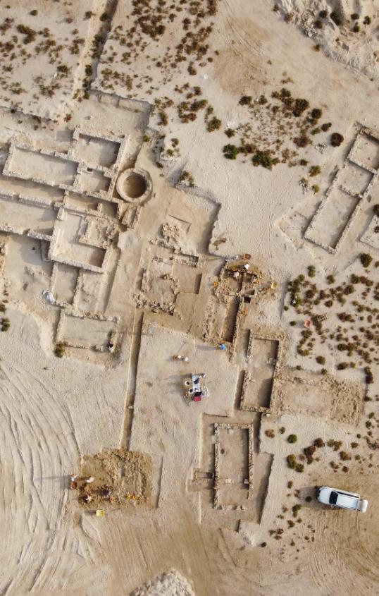
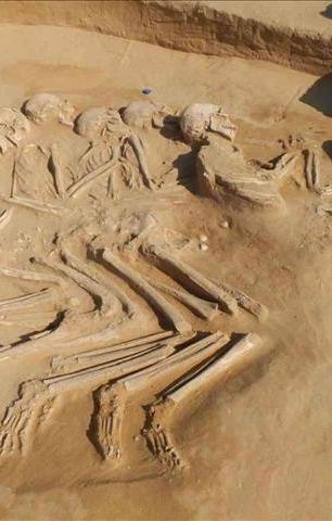
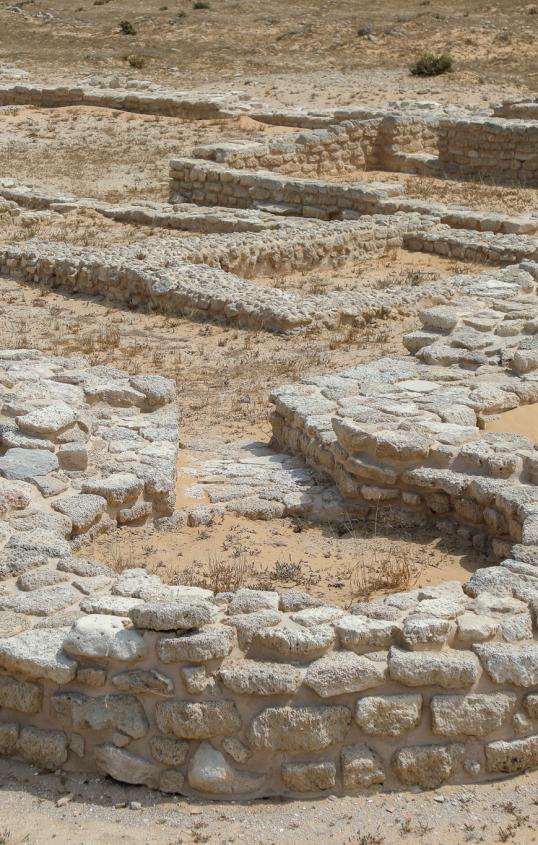
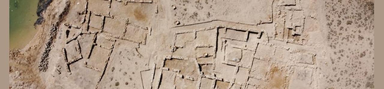
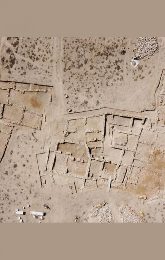
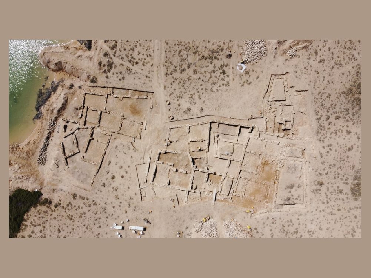
The coastal site of Al Ghallah overlooks Khor Umm Al Quwain, opposite the old city of Umm Al Quwain. The first archaeological survey and documentation of the site took place in 1989. The island dates back to the Neolithic period, with the archaeological area extending over roughly 6,000 square meters. Evidence suggests that it once hosted a Neolithic village inhabited by at least 100 to 120 people, pointing to a relatively stable and organized community living in shared dwellings. Fishing was the main livelihood of the inhabitants, practiced with nets, ropes, or shell-made hooks. Excavations uncovered a remarkable cluster of dugong (sea cow) bones, forming a platform about 10 meters long and half a meter high, composed of the remains of nearly forty dugongs. This feature is unique in the Middle East and unmatched among Neolithic sites worldwide. Other significant discoveries date back to the fifth and fourth millennia BC, including beads, fishing hooks, arrowheads, pearls, scrapers, tools made of bone, flint, and pottery from Mesopotamia. Al Ghallah was also one of the most prominent pearl-fishing centers during the fifth millennium BC. Findings indicate that settlement on the island continued almost continuously from 4500 to 3300 BC, underlining the site’s importance throughout the fifth and fourth millennia BC.
Umm Al Quwain